When going on any holiday you would expect paper copies of your stay, maps, guide books, vouchers, the works. However, the clever team at Macs have designed a digital app for your cell phone that even the technically challenged will feel software savvy using this app, trust me! They are moving with the times, saving the trees and are bursting to share the digital experience with our clients. Now you don’t have to carry 6 maps, 4 books and a whole lot of bits of paper in your bag – more room for sandwiches!
The excitement was building regarding my first trip away with the awesome Macs Adventure, to the glorious West Highland Escape. Not being an avid walker (I don’t even own proper socks!) I wanted to get all the details nailed perfectly, so to be told I would only be using the brand spanking new mobile app to guide me, was frankly terrifying. Being in the middle of the great outdoors, with little or no signal, on my first adventure trip, well you get my drift, great idea right?! Well, keep reading as it turns out it was! In stepped the Macs App – the true hero in this piece.
I didn’t have to be mobile tech-savvy, because not only was the app easy to navigate, it also had everything that a paper map could tell you – and more. Once the app had taken its place on the home screen of my phone, was merely minutes before all stages of my trip were saved, this meant I could view the maps, descriptions and any points of interest (nice touch) when I didn’t have signal or in airplane mode.
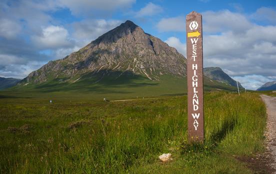
With a spring in my step, phone in hand, MacsApp downloaded, smile on face, stone in shoe (ouch!) I headed off into the wilderness of the West Highland Way! Being a fair-weather, there and back in one day walker, doing 34 miles over 3 days was going to be a struggle, quietly confident that I had all I needed at the touch of a button, off we went.
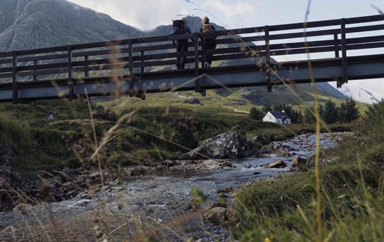
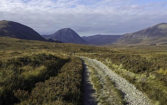
I started off at the beautiful Bridge of Orchy, I loaded up my map and there was the blue dot that marked my location – excellent, great start. The blue dot followed me up the first steep incline to out of Bridge of Orchy (I was prepared as I had read the description the night before, and still had a massive breakfast! Doh!) Views were more worth it, from the app we knew that birds of prey could be spotted here too! We continued down past the remote Inveroran Hotel out onto the old Drove road – this bit can be a bit exposed to the unpredictable Scottish elements so prepare for all seasons, behind the highlands and haggis, this is also what Scotland is famous for; ever-changing weather! After stopping at Ba Bridge for a quick rest and refuel, we checked that our blue dot was still keeping up, it was, and followed us all the way up to Kingshouse Hotel. 12 miles in the bag, and a wee dram as a reward.

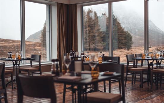
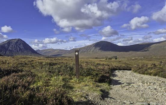
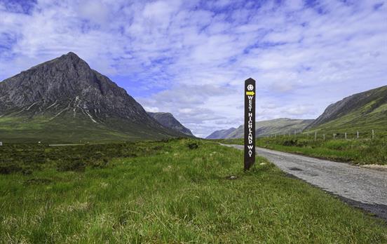
Looking out over the beautiful views of Buachaille Etive Mor from our Kingshouse restaurant, we checked the next day’s information on the Macs App – although a relatively shorter walk than yesterday with the Devils Staircase and Glencoe Massacre as the key points of interest, the walk was not going to be easy.
With a good night’s rest (and a tummy full of breakfast!) and lots of determination, we were ready for the challenges ahead. The Devils staircase, according to the app this was the highest point of the Escape – a whopping 550 meters above sea-level. It takes a good 45 minutes to an hour to walk the zig-zag path to the top, and boy once there the 360-degree views are amazing, also a nice spot to refuel. As per the Masc app the rest of the route was relatively flat and downhill, slightly rocky underfoot but nothing that a good pair of boots cant handle. Then Disaster! The path had been closed as we approached Kinlochleven, and was signposted a different route. Luckily Macs App to the rescue, woohoo, our blue dot kept us right, even on the diverted route, on the outskirts of the woods, right into the heart of Kinlochleven at the Tailrace Inn – phew!

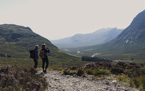
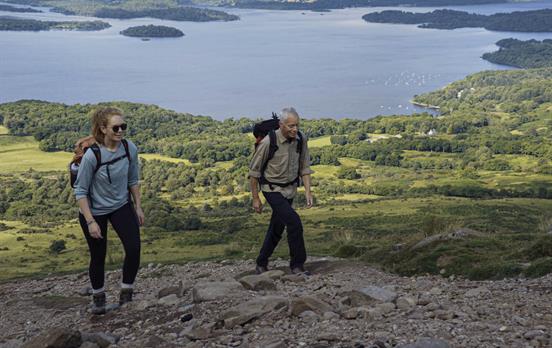
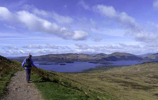
The victory dance from the previous day was still hovering over us, which was great, this was it, the big one, the 14 mile day was here! After another big breakfast (I will never learn!) I was ready for action. The steep and rather narrow climb out of Kinlochleven was pretty tough going and because of the narrow path there are only a few places to stop on the way up without blocking the path for others – again like all other climbs, once at the tops, the view back to Kinlochleven was really very pretty. Once we had caught our breath, and the blue dot had caught up with us, we knew the climb was finished and the rest of the trail had only minor ascends here and there. This was a long walk however you are not alone, along with fellow walkers you are joined by sheep, and goats – they don’t bother with you, however, we never really got that close and always shut the gates! In my option this was the most picturesque part of the walk, photographs just don’t do the scenery justice though.

ust as you arrive into Fort William you will be greeted by a finishing point, don’t be fooled! This is the original finishing point of the way, the Macs App directs you to the new finishing point at the other end of the high street. Congratulations 34 miles in 3 days!
Using the Macs App, was as easy as pie, and if I can do it so can you! I would ‘appily' recommend the Macs App over carrying lots of books and paperwork, when you can have all the documents in one place, at the touch of a button! Plus you’ll help save the trees!
Top Tip
The app has a really good function for making emergency calls which shows the person answering the emergency call the app users exact location. Very handy if you are in an unknown area, and a great safety measure.










 Canada